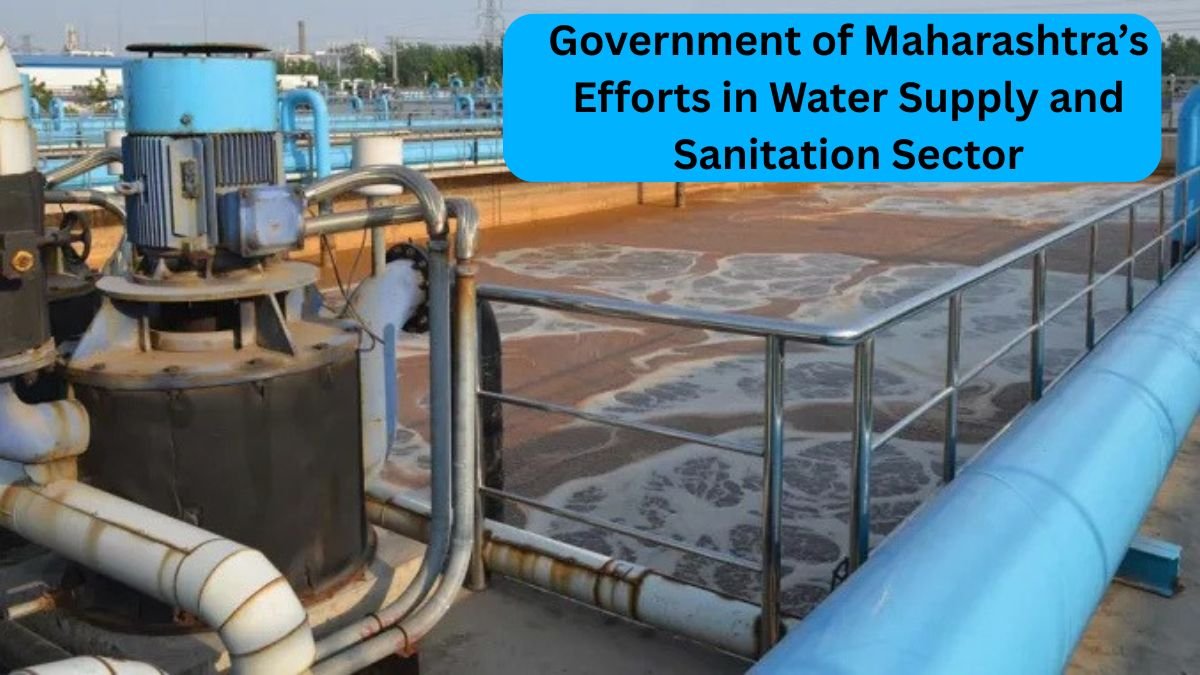
Government of Maharashtra’s Efforts in Water Supply and Sanitation Sector. Bhandara District has many aspects of beauty, history and geography in the state of Maharashtra, India. The district popularly refers to as “land of lakes” and “rice bowl” having more than 3500 natural and artificial lakes, and the qualitative rice cultivated here are known all over Maharashtra such as Chinnor, Dubraj, Kalimuch and Shriram.
Its Origin and Division
The word, “Bhandara”, is popularly believed to be a corrupted pronunciation “Bhanara”. The present bifurcation into Bhandara and Gondia districts was mainly for administrative convenience and came into force on 1st May 1999. The new district of Bhandara is then divided into seven tehsils, which are Bhandara, Mohadi, Tumsar, Pawani, Sakoli, Lakhani, and Lakhandur. In each tehsil, the headquarters of the Panchayat Samiti are established while the district headquarters are at Bhandara.
Geographical location and area
Bhandara district at North Latitude 20°30″ to 21°35″ East Longitude 79°30″ to 80°05″. According to the Survey Department of India, this district is included under 55P, 55O, 64C sheets. The total geographical area of the district is measured to be 4087 square kilometers out of which only 1.3% constitutes the vast area of the state Maharashtra. In this area, about 1011 square kilometers are under forest cover.
Boundaries and people
To the north, in Bhandara district, lies Balaghat district of Madhya Pradesh; to the east, Gondia; south, both Gadchiroli and Chandrapur; and west, Nagpur district. According to the 2011 census, the total population of the district sums up to 12,00,346. Out of which 6,05,520 are males and 5,94,814 female, with almost 80.5% of the population being rural while the remaining 19.5% being urban. There are 871 total villages in the district along with 141 wadis and 80 rithi village.
Climate and Rainfall
Usually, the climate of Bhandaara remains hot and dry, with rains occurring in this period due to the monsoon. The average minimum temperature dips to 6°C while the highest reaches up to 45°C. The average of the annual rainfall is between 1250mm to 1500mm. Coming on the second week of June, it is in July that the most pouring rains occur.
Topographic Features
Geographically, Bhandaara district is mostly in the plains but further northwards, the Satpura mountains comprise peaks like Bhimsen, Koka, and Gangajhari. Some hilly pockets are also found at Gaimukh, Chandpur, and Ambagarh, while Gaikuri is at the center of the district, Pratapgarh in the southeast, Ambagarh in the northwest, and western and southerly parts of the plains in Wainganga River are the hillock.
The Rivers and their Catchment Areas
The most important river for this district is Wainganga, which crosses from northeast flanking to south. Other tributaries like Bawanthadi, Sur, Maru, Chulband, and Gadhvi flow in this district. Overall, this entire area constituting the district contains 25 catchment areas: 8 Wainganga, 8 Chulband, 5 Sur, 3 Bawanthadi, and 1 Maru.
Geological structure
The geological structure of Bhandara District is mainly composed of very ancient rocks belonging to the Archaean period; the most distinctive of the prominent rocks are schist, phyllite, granite, and gneiss. The district comprises of two major rock groups:
- Sakoli Group: Iron-rich rocks, e.g. banded hematite quartzites, are included, famous as the ‘Bhandara Triangle’. These places have high significance concerning iron ore.
- Sausar Group: These rocks are rich in manganese and include schist, marble, and dolomites. As expected, significant amounts of manganese mining continue here.
Hydrology and Status of Ground Water
These aquifers consist of granite, schists, quartzites, and other materials, which possess very low permeability to water in Bhandara district, so irrigation wells were not maintained well in these areas. However, in some pockets, the alluvials are examples of the Chauras belt of Lakhandur and Pavani taluks, where they have quite good holding capacities for water and are also adapted to irrigation.
Agriculture and Economic Status
Currently, therefore, the economy continues to be mainly agrarian in Bhandara, where agriculture is the primary type of occupation, mainly rice cultivation. Major crops include rice varieties such as Chinnor, Dubaraj and other types of aromas reported as among the most highly cultivated in the region. These are besides aquaculture and bamboo-based industries, as well as some small mineral-based industries which are great contributors to employment.
Conclusion.
Bhandara District is also well known for ancient history, stunning natural beauty, and the fertility of land, richness in social, cultural, and geographical perspectives. Altogether, this can best characterize this land as intoxicated by the scent of rice, the solids, the coolness of the lakes, the melodious sounds of many rivers, and the silent serenity of the hills. It’s not a district, but a live museum of cultural and natural heritage.
